In five minutes: the British Empire at its peak
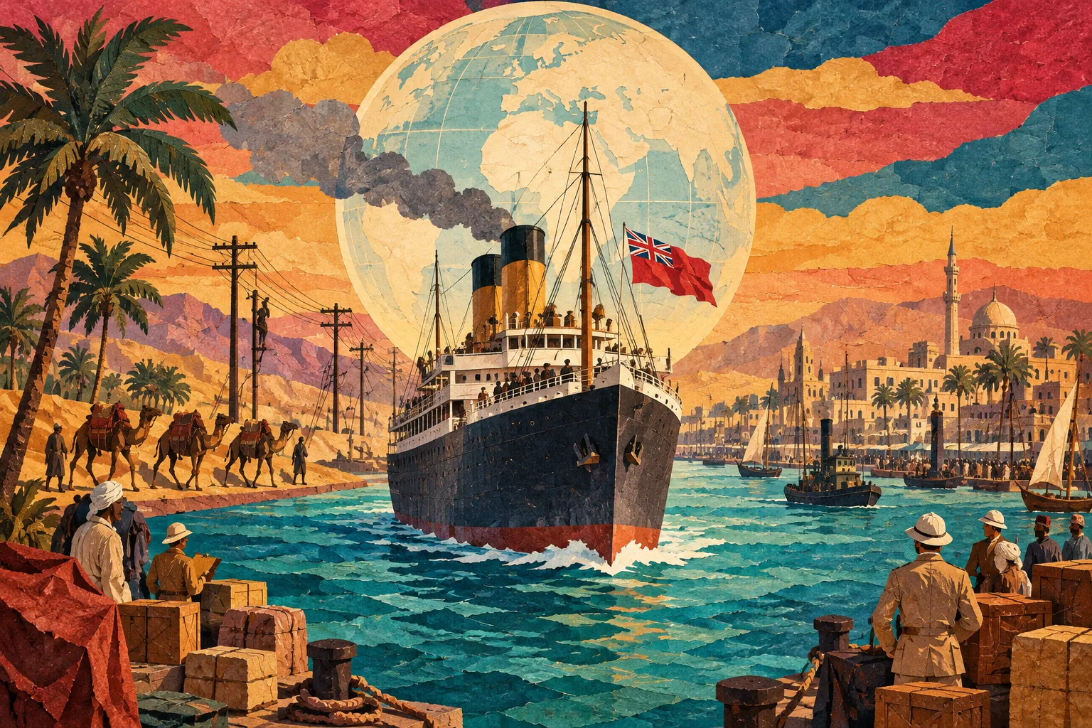
The British Empire was at its largest in the early 1920s, soon after the First World War. It covered about 35 million square kilometres, close to a quarter of the world's land, and ruled roughly 450 million people, somewhere between a fifth and a quarter of humanity. Maps of the time coloured British territory pink or red, which is why so many people picture the empire as a red stain spreading across the globe.
This page is a guide to that map: when the peak came, which lands made it up, why it looks bigger than it was, and why it began to come apart almost as soon as it was complete. For the wider period, start with the hub The Victorian Era (1837–1901).
When was the British Empire at its largest?
Most historians place the territorial peak at about 1920–1922. The reason is the First World War. After the defeat of Germany and the Ottoman Empire, their former lands were handed out as League of Nations mandates. Britain took Tanganyika in East Africa, parts of German Togoland and Cameroon, and in the Middle East Palestine, Transjordan and Iraq. Its dominions took others: South Africa received South West Africa, Australia took north-eastern New Guinea, and New Zealand took Samoa.
The exact year depends on what you count. Mandates were not formally colonies, and Egypt was declared independent in 1922 while British troops stayed. That is why a safe answer is "the early 1920s" rather than a single date. The usual figures are about 35.5 million square kilometres and about 458 million people in 1922, up from roughly 412 million in 1913. Treat these as estimates, not exact counts.
What was on the map?
It helps to sort the empire into four groups.
- Dominions: Canada, Australia, New Zealand, South Africa and Newfoundland. They ran their own affairs and shared the Crown. Ireland joined them in 1922 as the Irish Free State.
- India: today's India, Pakistan and Bangladesh, plus Burma until 1937. About 560 princely states sat inside it under British oversight.
- Crown colonies and protectorates: Nigeria, the Gold Coast, Kenya, Rhodesia, Malaya, Singapore, Hong Kong, Jamaica and many islands. Gibraltar, Malta and Cyprus guarded the Mediterranean route.
- Mandates and spheres of influence: the former German and Ottoman lands above, with Egypt and the Sudan under strong British influence.
By area, Canada, Australia and India made up a large share. India mattered most for people and money, and it was nicknamed the "jewel in the crown".
How did it grow this large?
The empire began with trade and settlement in the 1600s: colonies in North America and the Caribbean, and the East India Company in Asia. After the Battle of Plassey in 1757 the Company secured Bengal, a base for its later expansion across India. Britain lost its thirteen American colonies in 1783, but shifted its attention to India, Canada and later Australia.
The end of the Napoleonic Wars in 1815 left the Royal Navy without a serious rival. Steamships, railways and the telegraph tied far-off ports together. After the 1857 rebellion, India passed from the Company to direct Crown rule in 1858, and in 1877 Queen Victoria became Empress of India. The last great surge came in the "scramble for Africa" of the 1880s and 1890s. The Berlin Conference of 1884–85 set out rules for carving up the continent, Britain pursued a chain of territory from Cairo to the Cape, the Fashoda crisis with France followed in 1898, and the Boer War (1899–1902) secured South Africa.
Sea power, new technology such as the Maxim gun and quinine against malaria, and deals with local rulers and merchants all helped a small number of British officials hold very large areas.
What the map hides
Most world maps use the Mercator projection, which stretches areas far from the equator. Canada and Russia look huge, and so does the red empire. Africa is about three times the size of Canada, yet on a Mercator map the two look almost equal.
The single colour also hides big differences. Dominions behaved almost like independent states. Crown colonies had governors sent from London. Princely states kept their rulers but took British advice. The rights of the people living there differed accordingly.
Finally, size was not strength. By 1914 Britain's industry had already been overtaken by the United States and Germany, and the war left it deep in debt. The 1920s peak was as much an overstretched empire as a powerful one.
The people behind the pink
Most people in the empire could not vote for the government that ruled them. Conquest, land seizures, heavy taxes and forced labour were part of colonial rule, and colonial economies were shaped to serve British interests. At the same time, railways, ports, schools and legal systems were built, and many later independence leaders studied in them. Historians weigh these things differently, so it is best to check each claim against facts.
In the First World War, well over a million Indian soldiers served overseas, and Canada, Australia, New Zealand and South Africa also sent large armies. That contribution gave people in many places a strong argument for more self-rule afterwards.
Why did it shrink?
The decline began almost immediately. Most of Ireland became a self-governing dominion in 1922, and Egypt became nominally independent. In India, the Indian National Congress (founded 1885) grew stronger, and Gandhi's campaigns spread. The Statute of Westminster in 1931 recognised the dominions as legally equal to Britain.
The Second World War was the turning point. Britain was financially exhausted, and India and Pakistan became independent in 1947. The Suez Crisis of 1956 showed that Britain could no longer act alone on a grand scale. African colonies gained independence one after another from the late 1950s into the 1960s, and the handover of Hong Kong in 1997 is often used as the closing date. Today the Commonwealth has more than fifty members, but it is a loose partnership, not an empire.
What exams ask
In AP World History and similar courses, the questions usually follow a few patterns.
- Place the peak in the early 1920s and explain that mandates after the First World War added territory.
- Distinguish a colony, a dominion, a protectorate and a mandate.
- Explain the motives for the "New Imperialism" of the late 1800s: raw materials, markets, naval bases, national prestige and strategic routes such as the Suez Canal.
- Link the Berlin Conference, Fashoda and the Boer War to the scramble for Africa.
- Read a map critically: what do colour and projection leave out?
For a significance question, a strong answer pairs the empire's reach with its limits: huge size, uneven control, and the pressures that led to decolonisation.
Read next
- The British Empire: the full story from first colonies to decolonisation.
- "The Empire on Which the Sun Never Sets": where the famous phrase came from and what it meant.
- Who Was Queen Victoria?: the monarch whose reign saw the empire's greatest growth.