In five minutes
Britain's 3C policy was a plan to tie three cities into one British sphere of power: Cairo in Egypt, Cape Town at the southern tip of Africa, and Calcutta, the capital of British India until the government announced in December 1911 that it would move to Delhi. The name is simply the first letter of each city. The aim was to secure the sea and land route to India and to link British power from north to south across Africa, using railways and telegraph lines.
The policy belongs to the wider story of imperialism, the late 19th-century rush to claim colonies. Its distinctive feature was its focus on transport. Railways and telegraph wires were meant to carry soldiers, officials and goods, and to join up territories that were otherwise far apart. Each city had a job: Cairo guarded the approach to the Suez Canal, Cape Town was the port and base for the south, and Calcutta was the seat of government for India.
Not every side of the triangle was a railway. Ships sailing from Cape Town to Calcutta crossed the Indian Ocean, supported by the naval base at Simon's Town near Cape Town. The Cairo-to-Calcutta leg ran by sea through the Suez Canal and the Red Sea, where Aden was a key port, then across the Arabian Sea. The 3C idea therefore joined land lines and sea lanes into one network.
One point matters for exams and for everyday reading. The 3C idea was less a single signed plan than a set of linked ambitions that historians and textbooks later grouped under one short name.
Why Britain wanted the route
India was the centre of British imperial interest, and ships reached it through the Suez Canal, which opened in 1869. Britain bought the Khedive's shares in the canal company in 1875 and occupied Egypt in 1882, so it gained a strong hold over Cairo and the canal. To the south, the Cape Colony offered a port, a base for British power and a route into the interior.
The interior became more valuable in the 1870s and 1880s. Diamonds were found at Kimberley in the early 1870s, and gold on the Witwatersrand in 1886 drew money and workers to the region. Railways carried ore, coal and troops, but they were expensive to build. A line that ran entirely through British-controlled land made more economic sense than a chain of separate lines owned by rival powers.
A London-to-Calcutta telegraph circuit was completed in April 1870, partly overland through Persia and partly by undersea cable. The 3C policy tried to extend the same logic to the overland routes of Africa.
The railway idea itself is usually traced to 1874, when Edwin Arnold, editor of the Daily Telegraph, proposed a line from Cape Town to Cairo. Cecil Rhodes later made it his own. As prime minister of the Cape Colony from 1890 to 1896, he backed companies that built railways north into what became Botswana, Zambia and Zimbabwe. His dream of one unbroken British line from the Cape to Cairo is the version of the plan most people remember.
What happened on the ground
The plan did not move in a straight line. It ran into other powers and local resistance in three main places, and each clash showed the limits of British reach.
Egypt and Sudan
Sudan lay between Egypt and the African interior. In 1885 Mahdist forces took Khartoum, a blow that Britain wanted to reverse. From 1896, Lord Kitchener's army repaired and extended the railway south from Wadi Halfa to supply its campaign against the Mahdist state. His army defeated the Mahdists at the Battle of Omdurman on 2 September 1898. A few weeks later, at Fashoda on the upper Nile, a French expedition faced a British force. Neither government wanted a full war. France agreed in November 1898 to withdraw, and the crisis ended without a fight. Britain and France settled their wider colonial disputes in the 1904 Entente Cordiale. Fashoda showed that a line south from Cairo would be contested, not simply claimed.
South Africa and Rhodesia
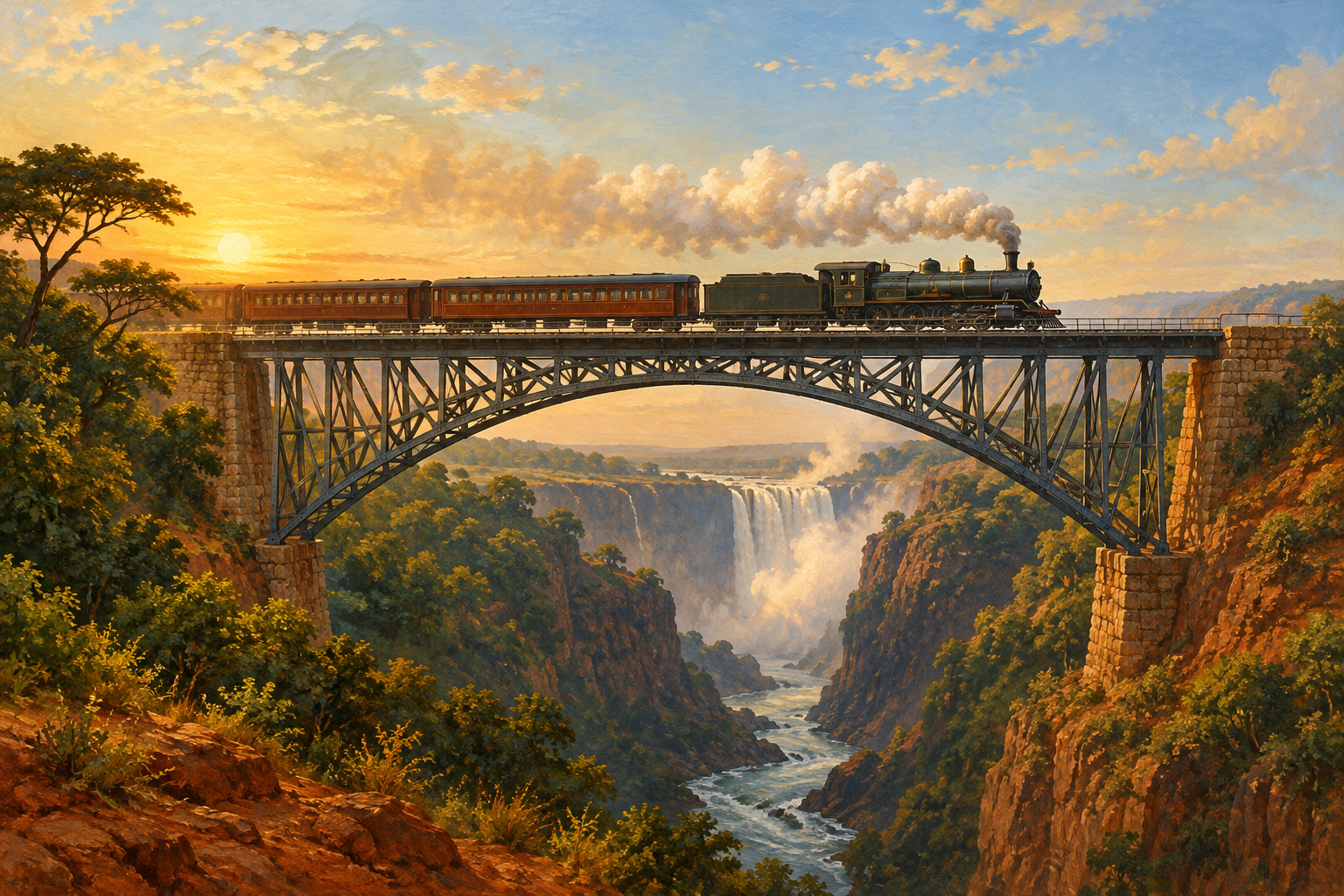
The southern section was the most complete. Before the First World War, a line ran from Cape Town through Kimberley to Bulawayo. In 1905 the Victoria Falls Bridge over the Zambezi opened. This steel arch still stands and is the clearest physical trace of the plan. The Second Boer War (1899 to 1902) was fought for many reasons, including control of the gold-rich Transvaal. The two Boer republics, the Transvaal and the Orange Free State, also lay across the path of any north-to-south line. Britain won the war, and in 1910 the former republics joined the new Union of South Africa.
East Africa and the gap
The eastern part of the route was the hardest. Germany secured German East Africa, the mainland part of today's Tanzania, in 1891, and that colony sat between British East Africa and the south. The Congo, with its rainforest and difficult terrain, was another barrier. In 1916, British and allied forces, including African and Indian troops, occupied most of German East Africa. German forces under Lettow-Vorbeck fought on until November 1918, so the eastern gap stayed open until the war ended. The railway line itself was still unfinished.
The rival: Germany's Berlin to Baghdad plan
Germany had its own railway ambitions in the Middle East. In 1903 the Ottoman government authorised a company, backed by German banks, to build a line toward Baghdad. The plan, usually called the 3B policy after Berlin, Byzantium (Istanbul) and Baghdad, threatened the land and sea routes Britain wanted to protect. British planners worried that a German line reaching the Persian Gulf would give Berlin a strong position near the route to India.
When war broke out in August 1914, the Baghdad line was still about 960 kilometres (600 miles) from its goal. The clash between the 3C and 3B plans was one of several rivalries that pushed Britain and Germany toward war. It did not cause the war alone, but historians often use it as a clear example of how railway lines drawn on a map could turn into diplomatic conflict.
Why it stalled and what it left behind
The 3C line never ran end to end as one route. Three problems held it back. First, the route was never entirely British territory: German colonies, the Congo and political unrest in Sudan left gaps. Second, money ran short after the First World War. In the 1920s and 1930s, road transport, air freight and cheaper shipping made a long rail link less urgent, and the Great Depression made the case weaker still. Third, after 1945 the independence of African states changed who controlled each section, which made a single route far harder to justify.
Even unfinished, the plan left physical traces. The southern railways and the Victoria Falls Bridge, which still stands, show how much was actually built. The plan also shows how empires used railways and telegraphs to make distant lands feel like one system, even when the system was never finished.
What exams ask
For an AP-style answer, make one clear claim: the 3C policy showed how Britain combined economic, strategic and imperial aims through transport. Support it with two specific examples, such as the Fashoda crisis and the Victoria Falls Bridge. Then compare it with Germany's 3B policy to explain why imperial rivalry grew before 1914. Textbooks usually present 3C as the “triangle” policy, so describe a network of linked routes rather than a single railway. Avoid describing the plan as one approved document; historians treat it as a set of linked ambitions.
Read next
Continue with Cecil Rhodes: The Colossus of Rhodes Cartoon to see the man who made the Cape-to-Cairo dream famous. Then read Germany's 3B Policy (Berlin, Byzantium, Baghdad) for the rival plan that shaped tensions before the First World War. For wider background on British power and trade, read The Abolition of the Slave Trade and Slavery.