In five minutes: the WWI maps
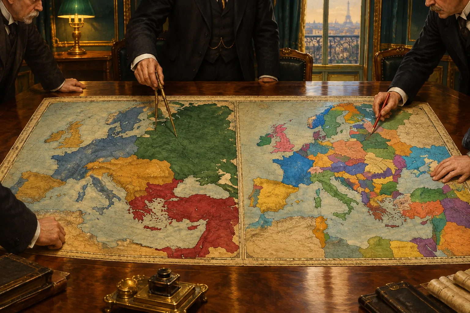
A map of Europe in 1914 is a map of empires. The German, Austro-Hungarian, Russian and Ottoman empires covered the centre and east of the continent, and two armed alliances divided the great powers. A map of 1919 is a map of nation-states. Those four empires had collapsed or been cut down, and new or restored countries stood between Germany and Russia.
This page is part of our hub on World War I (1914–1918): Causes, Course and Consequences. Read it beside the World War I timeline: the timeline tells you when things happened, and the maps show where.
Europe in 1914: the map before the war
In summer 1914 six great powers shaped the map: Britain, France, Germany, Austria-Hungary, Russia and Italy. The German Empire, founded in 1871, held the middle of the continent. That year it took Alsace and part of Lorraine from France, and the wish to win them back stayed alive in France for more than forty years.
Austria-Hungary, a double monarchy in which the Austrian emperor was also king of Hungary, stretched from Bohemia to Transylvania. In 1908 it annexed Bosnia and Herzegovina. The Russian Empire was the largest state of all. Its western part included Russian Poland and Finland, which was a grand duchy. Poland had been divided among Russia, Prussia and Austria since the eighteenth century. The Ottoman Empire lost most of its European land in the Balkan Wars of 1912–1913 and kept only a narrow area around Istanbul and eastern Thrace.
The Balkans held Serbia, Montenegro, Bulgaria, Romania, Greece and Albania, which became independent in 1912. Belgium was a neutral country whose neutrality had been guaranteed by treaty in 1839. Norway, Sweden, Denmark, the Netherlands, Switzerland and Spain stayed out of the war.
The most important thing about the 1914 map is that borders did not follow where peoples lived. Czechs in Bohemia, Poles in Prussian Posen, Serbs in Bosnia and Romanians in Transylvania all lived under rulers of another nation. That mismatch is the key to reading the 1914 map, and it is the problem the 1919 map tried to answer.
Two alliances on the map
Draw the alliances and you see why a local crisis became a continental war. The Triple Alliance linked Germany, Austria-Hungary and Italy from 1882. The Triple Entente was a looser understanding between Britain, France and Russia, built from the Franco-Russian alliance of 1894, the Anglo-French Entente Cordiale of 1904 and the Anglo-Russian agreement of 1907.
Look at Germany's position: France on one side, Russia on the other. German planners feared a war on two fronts, and that fear shaped their plan to strike France first through Belgium. For the wider story of how arms races and army planning built this tension, see What Is Militarism? How It Led to WWI.
The alliance map changed quickly once war began. Italy stayed neutral in 1914 and joined the Allies in May 1915. The Ottoman Empire entered on the German side in late 1914, and Bulgaria joined the Central Powers in October 1915.
The fronts: how the war looked on a map
The Western Front is the best-known line. Germany invaded Belgium on 4 August 1914, and Britain declared war the same day. The German advance was stopped near the Marne in September 1914. Both sides then tried to outflank each other in the 'race to the sea', and by the end of 1914 a line of trenches ran from the North Sea to the Swiss border, about 700 kilometres. It moved only a few kilometres in most years until 1918.
The Eastern Front was much longer and more fluid. Russian armies advanced into East Prussia and Austrian Galicia in 1914, but German and Austro-Hungarian forces pushed them back in 1915 and took Russian Poland and much of the Baltic coast. After the revolutions of 1917, Soviet Russia signed the Treaty of Brest-Litovsk on 3 March 1918, giving up Poland, the Baltic lands and Ukraine to German influence. This was the largest German gain of the war, and it was cancelled in the autumn of 1918.
Other fronts opened around the edges. Serbia was overrun in late 1915. Italy fought Austria-Hungary in the Alps and along the Isonzo river. An Allied army held a front at Salonika in Greece. The Gallipoli campaign of 1915 tried and failed to open a sea route to Russia, and British forces later took Baghdad in 1917 and Jerusalem in December 1917. At sea, the British blockade of Germany was a front you cannot see on a land map, but it mattered as much as many battles.
Europe in 1919: the redrawn map
The Armistice of 11 November 1918 stopped the fighting. The Paris Peace Conference opened on 18 January 1919, and it produced a separate treaty for each defeated state: Versailles with Germany (28 June 1919), Saint-Germain with Austria (September 1919), Neuilly with Bulgaria (November 1919), Trianon with Hungary (June 1920) and Sèvres with the Ottoman Empire (August 1920). Sèvres was later replaced by the Treaty of Lausanne in 1923.
The guiding idea was national self-determination, the right of peoples to rule themselves, a principle stressed by US President Woodrow Wilson in his Fourteen Points of January 1918. In practice the victors also weighed security, punishment and their own gains. The result was a map with many more states and many more borders.
What changed, country by country
- Germany lost Alsace-Lorraine to France, Eupen-Malmedy to Belgium, and northern Schleswig to Denmark after a 1920 vote. Most of Posen and West Prussia went to Poland, which gave Poland a route to the sea (the 'Polish Corridor') and cut East Prussia off from the rest of Germany. Danzig became a Free City under the League of Nations, the Saar was run by the League for fifteen years, the Rhineland was demilitarised, and all overseas colonies were lost. In total Germany gave up about 13 percent of its pre-war territory.
- Austria-Hungary ceased to exist in late 1918. Austria became a small republic, and the treaty forbade it to unite with Germany. Hungary became a separate state and lost roughly two thirds of its old land at Trianon. Czechoslovakia and the Kingdom of Serbs, Croats and Slovenes (later called Yugoslavia) appeared. Romania gained Transylvania, Poland gained Galicia, and Italy gained South Tyrol, Trentino and Trieste.
- Russia lost its western borderlands in war and revolution. Finland, Estonia, Latvia, Lithuania and Poland became independent, and Romania took Bessarabia. The Soviet Union was formed in 1922.
- The Ottoman Empire lost its Arab provinces. Britain received League of Nations mandates over Iraq, Palestine and Transjordan, and France over Syria and Lebanon. A new Turkish republic led by Mustafa Kemal was recognised in 1923.
- Bulgaria lost its outlet on the Aegean Sea, which went to Greece, and gave small border areas to Yugoslavia.
Why the new borders caused trouble
The new states were nation-states only in name. Czechoslovakia held millions of Germans in the Sudetenland and many Hungarians in Slovakia. Romania took in a large Hungarian population in Transylvania. Poland included Ukrainians, Belarusians, Germans and Jews. Plebiscites settled some questions, in Schleswig, Upper Silesia and Carinthia for example, but not all.
The maps also fed grievance. Germany saw the loss of land, colonies and the 'Polish Corridor' as an injustice, and Hungary saw Trianon the same way. Politicians in the 1930s used these feelings. That does not make a second war inevitable, but it explains why border revision stayed a live political issue across the 1920s and 1930s.
What exams ask
AP-style questions usually ask for significance and comparison. Be ready to do the following:
- Explain how the alliance system and the position of Germany between France and Russia turned a regional crisis into a general war.
- Describe why the Western Front became static, and what the Eastern Front looked like by comparison.
- Name the four empires that fell and one successor state for each.
- Compare the aims of national self-determination with the actual outcome for minorities.
- Match each treaty to its defeated state: Versailles, Saint-Germain, Neuilly, Trianon, Sèvres.
Read next
- World War I Timeline 1914–1918: put the map changes in order of date.
- What Is Militarism? How It Led to WWI: see why the great powers kept growing their armies before 1914.
- WWI in Film and Fiction: see how the trench-line world on these maps was shown on screen and in books.
- World War I (1914–1918): Causes, Course and Consequences: the full overview this page belongs to.