In five minutes
The Balkans are a region in southeastern Europe: a peninsula with the Adriatic and Ionian seas on its west, the Aegean Sea to the south and the Black Sea to the east. Where its northern edge falls depends on who is drawing the map. Many atlases use the Sava and Danube rivers, which puts Albania, Bosnia and Herzegovina, Bulgaria, Greece, Kosovo, Montenegro, North Macedonia and most of Serbia inside the peninsula, with parts of Croatia, Romania, Slovenia and Turkey around its rim.
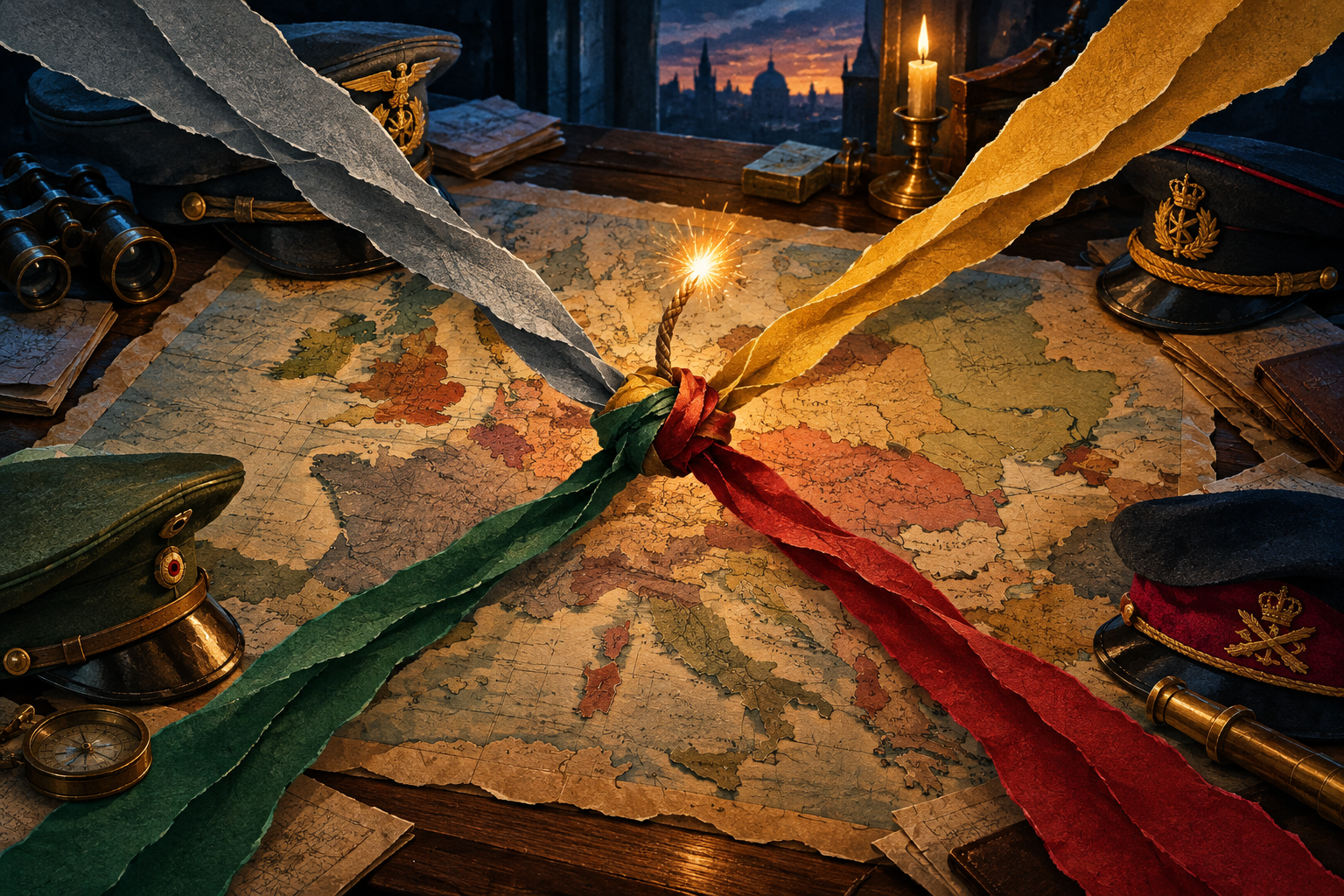
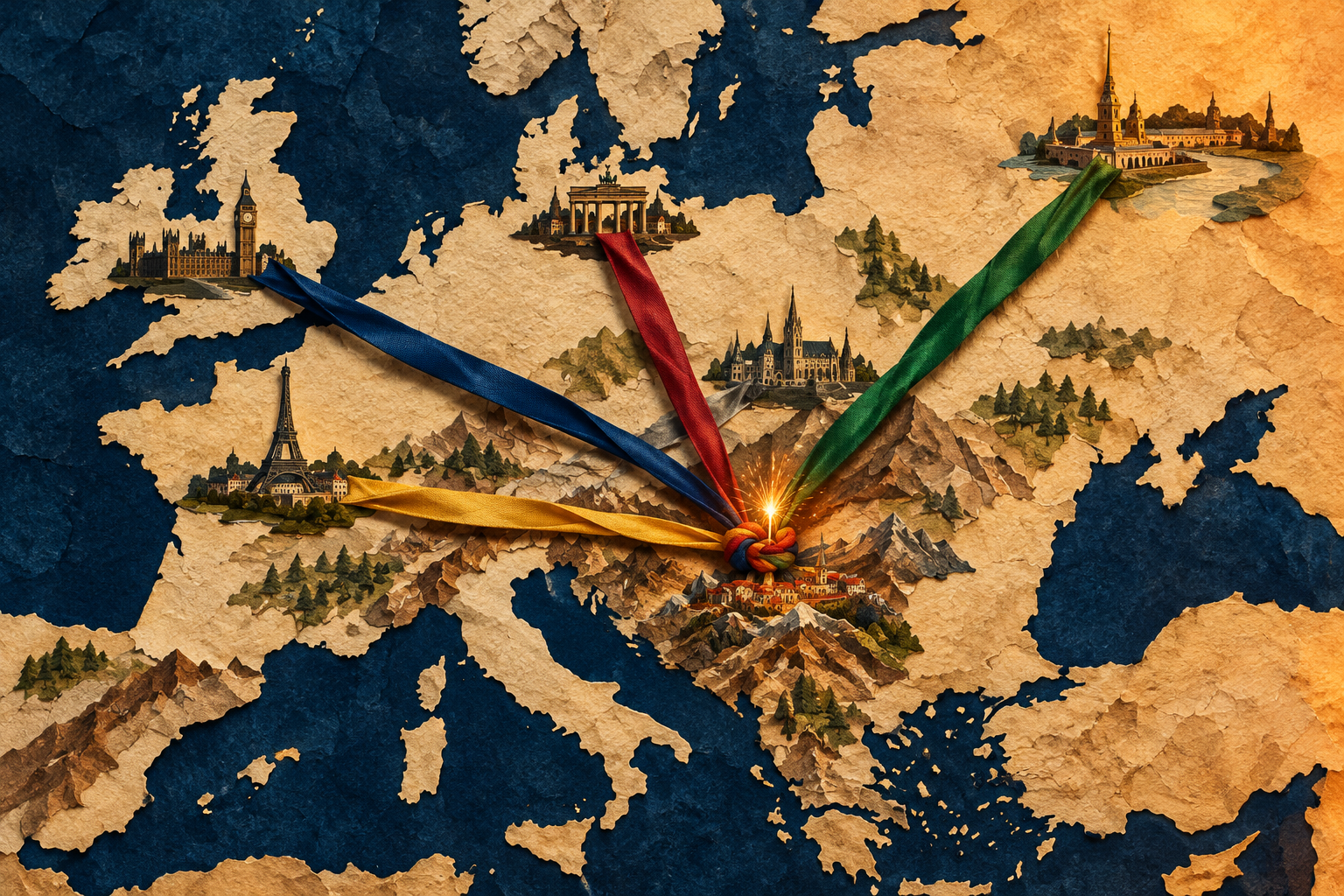
History students meet the Balkans because three empires pressed against each other there: Austria-Hungary, Russia and the Ottoman Empire. As Ottoman power weakened in the nineteenth century, new states appeared and the great powers competed to influence them. In 1914 a young Bosnian Serb, Gavrilo Princip, shot Archduke Franz Ferdinand in Sarajevo, and within about five weeks the great powers were at war. That is why the region earned the nickname "powder keg of Europe". For the wider story, see the World War I overview.
Where the Balkans are on the map
Picture Europe as a hand reaching south into the Mediterranean. The Balkans are the part of it that points toward Greece. On the west side lies the Adriatic Sea, with Italy facing the Balkan coast across the water. Along the south and southeast are the Ionian and Aegean seas. On the east is the Black Sea, and at the far southeastern tip the Bosporus strait separates Europe from Asia near Istanbul.
Inland, the land is rough. The Dinaric Alps run down the western side, the Pindus range runs through Greece and Albania, and the Rhodope and Rila mountains rise in Bulgaria. The Balkan Mountains (called Stara Planina in Bulgarian and Serbian) cross Bulgaria from west to east. The highest peak in the region, Musala in the Rila range, is about 2,925 metres tall. Rivers such as the Danube, Sava, Morava and Maritsa carry people and trade through the valleys, but mountains kept many communities apart, which is one reason the region has so many languages and local traditions.
Which countries are in the Balkans?
There is no single official list, because "the Balkans" is a geographic and historical label, not a treaty organisation. In most school atlases you will see these countries:
- Fully or mostly inside the peninsula: Albania, Bosnia and Herzegovina, Bulgaria, Greece, Kosovo, Montenegro, North Macedonia and Serbia.
- Partly inside, depending on the map: Croatia, Slovenia and Romania, plus the small European part of Turkey around Istanbul and Edirne.
Capitals worth knowing are Belgrade (Serbia), Sofia (Bulgaria), Athens (Greece), Sarajevo (Bosnia and Herzegovina), Zagreb (Croatia), Tirana (Albania), Skopje (North Macedonia), Podgorica (Montenegro) and Pristina (Kosovo).
Several of these countries are young. Serbia, Montenegro and Romania were recognised as fully independent in 1878. Albania declared independence in 1912. Slovenia and Croatia declared independence in 1991, Montenegro became independent again in 2006, and Kosovo declared independence in 2008, which many but not all countries recognise. North Macedonia took its present name in 2019. When you read an old text, check which borders it means.
Where does the name come from?
"Balkan" is a Turkish word that is usually explained as meaning a chain of wooded mountains. It first described the Balkan Mountains in Bulgaria. In the early 1800s European geographers began to apply it to the whole peninsula, and the name stuck. Because it spread through Ottoman and then European usage, some people in the region dislike how outsiders use it as a shorthand for conflict. Historians therefore try to use it as a place name, not a judgement.
How empires divided the Balkans
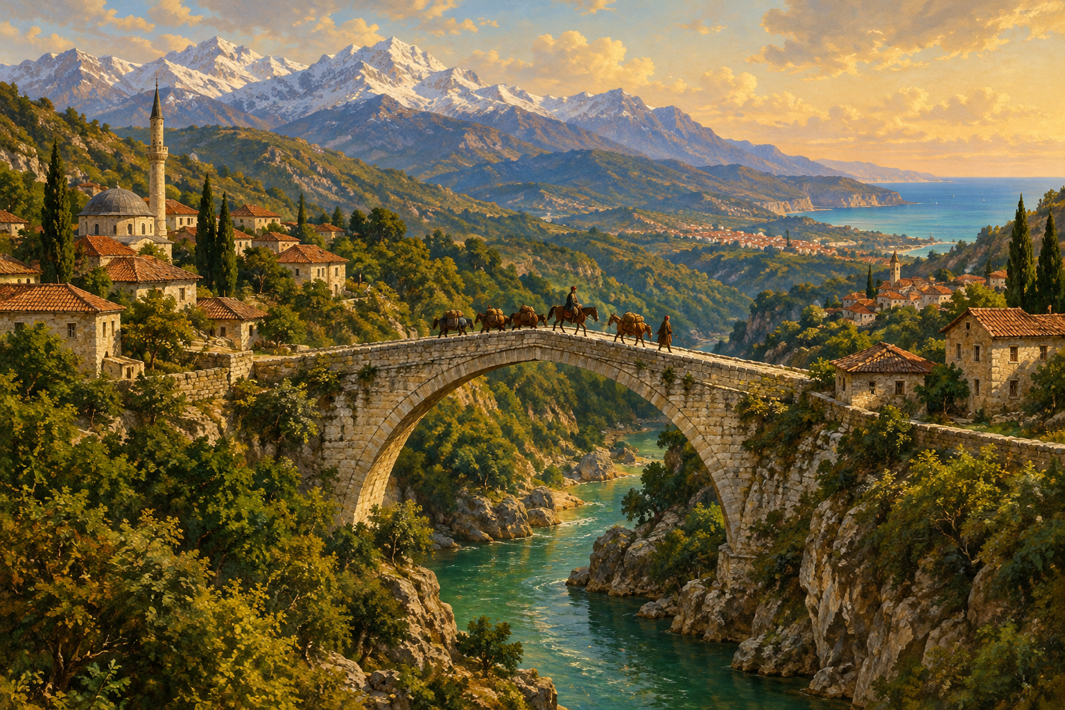
For centuries the main power in the region was the Ottoman Empire. Its armies defeated a Serb-led force at Kosovo Polje in 1389, and its capture of Constantinople in 1453 confirmed Ottoman control of most of the peninsula. Orthodox Christians, Muslims, Catholics and Jews lived side by side under Ottoman rule, often in mixed towns and villages.
To the north, the Habsburg monarchy, later Austria-Hungary, held much of the land along the Danube and Sava. To the northeast, Russia saw itself as protector of Orthodox Christians and Slavic peoples. The map of the Balkans was therefore a border zone between three large realms, and every shift in one empire's strength changed the situation of the others.
Why the Balkans led to World War I
Causes. In the nineteenth century, nationalism spread among the peoples of the Ottoman Empire. Serbs rose in revolt from 1804, Greeks began their war of independence in 1821, and at the Congress of Berlin in 1878 the great powers recognised Serbia, Montenegro and Romania as independent and made Bulgaria an autonomous principality. The same congress allowed Austria-Hungary to occupy Bosnia and Herzegovina. In 1908 Austria-Hungary annexed it outright, angering Serbia and Russia.
The Balkan Wars. In 1912 Serbia, Bulgaria, Greece and Montenegro joined forces and drove the Ottomans out of most of their remaining European land. A month later Albania declared independence. In 1913 the winners quarrelled over how to share the gains, and Bulgaria fought its former allies in the Second Balkan War. Serbia came out larger and more confident, which alarmed Vienna.
What happened in 1914. On 28 June 1914, Archduke Franz Ferdinand, heir to the Austro-Hungarian throne, was shot in Sarajevo by Gavrilo Princip, a Bosnian Serb who wanted Bosnia to join a south Slavic state. Austria-Hungary blamed Serbia and declared war on 28 July. Russia mobilised to support Serbia, Germany backed Austria-Hungary, and alliance commitments pulled in France and Britain. A local crisis became a European war.
Why the Balkans, not somewhere else? Because the region combined three ingredients: new nations with unfinished borders, a shrinking empire, and great powers that could not let a rival gain ground. Read more in Why Were the Balkans the "Powder Keg of Europe"?.
After the war
The war ended three empires: Austria-Hungary, the Ottoman Empire and Russia's imperial government. In December 1918 the Kingdom of Serbs, Croats and Slovenes was proclaimed, later renamed Yugoslavia. It brought many Balkan peoples into one state, but disagreements over power and identity continued. Yugoslavia broke apart in the 1990s, and the wars of that decade, including the war in Bosnia that ended with the Dayton agreement in 1995, turned the word "Balkans" back into a headline.
Today Greece, Bulgaria, Romania, Croatia and Slovenia are members of the European Union, while other Balkan countries are at different stages of joining. The region is also a popular place for travellers, with the Adriatic coast, Greek islands and mountain towns.
What exams ask
- Location: be ready to name the seas around the peninsula and to place Serbia, Bosnia and Herzegovina, Bulgaria and Greece on a blank map.
- Key terms: "powder keg of Europe", Pan-Slavism, nationalism, the Congress of Berlin (1878), the Bosnian annexation crisis (1908), the Balkan Wars (1912–1913).
- Significance: AP-style questions usually ask you to explain how nationalism and great-power rivalry in the Balkans turned the Sarajevo assassination into a general war.
- Common mistake: the assassination did not cause the war by itself. It was the trigger. The alliance system, militarism and imperial rivalry made it spread. See What Is Militarism?.
Read next
- Why Were the Balkans the "Powder Keg of Europe"?: the full causes-and-effects explanation behind the nickname.
- The Balkan Powder Keg Cartoon and WWI Political Cartoons: see how artists of the time pictured the crisis.
- What Is Militarism? How It Led to WWI: why armies and war plans made a local crisis so hard to stop.
- World War I (1914–1918): Causes, Course and Consequences: the hub page for the whole war.