In five minutes
The Civil War map of 1861 shows a country cut in two. Of the 34 states, eleven slave states left the Union and formed the Confederate States of America. The other 23 states stayed, and four of them (Delaware, Maryland, Kentucky and Missouri) still allowed slavery. This page is part of our guide to 19th-Century America, and it explains who stood where and why the borders mattered.
Three facts carry most of the story. The Union had about 22 million people against about 9 million in the Confederacy, and some 3.5 million of those 9 million were enslaved. The Union also held most of the country's factories and railways. The Confederacy, on the other hand, did not need to conquer the North. It needed to survive, so its huge territory of rivers, mountains and coastline was both a shield and a burden.
The 11 Confederate states
The Confederate states left in two waves. Seven Deep South states seceded after Abraham Lincoln won the 1860 election, because they feared a president whose party opposed the spread of slavery. They acted before he even took office:
- South Carolina (20 December 1860)
- Mississippi (9 January 1861)
- Florida (10 January 1861)
- Alabama (11 January 1861)
- Georgia (19 January 1861)
- Louisiana (26 January 1861)
- Texas (1 February 1861, confirmed by voters on 23 February)
Four Upper South states followed after the Confederates fired on Fort Sumter in Charleston harbor on 12 April 1861 and Lincoln called for 75,000 volunteers to put down the rebellion:
- Virginia (17 April 1861, confirmed by voters on 23 May)
- Arkansas (6 May 1861)
- North Carolina (20 May 1861)
- Tennessee (6 May 1861, confirmed by voters on 8 June)
These four mattered a great deal. They added a large share of the Confederacy's people, most of its factory capacity, and Richmond's ironworks, and Virginia in particular put the Confederate capital next to the enemy. The first capital was Montgomery, Alabama, but in the summer of 1861 the government moved to Richmond, Virginia, only about 100 miles from Washington, D.C. That short distance is why so much of the war in the East was fought in between.
The Union: free states and border states
The Union side had 23 states in 1861. Nineteen were free states: Maine, New Hampshire, Vermont, Massachusetts, Rhode Island, Connecticut, New York, New Jersey, Pennsylvania, Ohio, Indiana, Illinois, Michigan, Wisconsin, Minnesota, Iowa, Kansas, California and Oregon. Kansas had joined only on 29 January 1861. These states supplied most of the soldiers, the money and the factories.
The other four were the border states, slave states that did not secede:
- Delaware was a slave state in law, but fewer than 2,000 people were enslaved there in 1860, and it stayed firmly with the Union.
- Maryland surrounded Washington on three sides. After a deadly riot in Baltimore on 19 April 1861, Lincoln sent in troops to keep the capital connected to the North.
- Kentucky first declared itself neutral. It moved to the Union side in September 1861, after Confederate troops entered the state.
- Missouri was split. Union forces held most of it, but a Confederate government in exile was also recognized by Richmond.
Lincoln worked hard to keep these four. They controlled the Ohio and lower Missouri rivers and sat on the edge of the Midwest. The Emancipation Proclamation of 1 January 1863 did not apply to them, because it covered only areas in rebellion. Slavery there ended later, mostly through state action and the Thirteenth Amendment, ratified in December 1865.
Where the simple map breaks down
A two-colour map hides some important exceptions.
- West Virginia. Many people in the mountain counties of western Virginia opposed secession. They formed a separate government, and West Virginia joined the Union as a new state on 20 June 1863.
- East Tennessee. This mountain region stayed strongly pro-Union even though Tennessee seceded.
- Nevada. The territory became a state on 31 October 1864, which added a Union vote and silver for the war effort just before the election.
- Territories in the West. The Confederacy claimed an Arizona Territory in the south of New Mexico, but Union troops pushed Confederate forces out in 1862. Several nations in Indian Territory (now Oklahoma) signed treaties with the Confederacy, though others, and many individuals, backed the Union.
How the map shaped the war
In 1861 General Winfield Scott proposed what newspapers called the Anaconda Plan: blockade the Southern coast, take the Mississippi River, and slowly squeeze the Confederacy. Parts of the plan looked slow, but the map shows why it worked. The Confederacy had about 3,500 miles of coastline to defend, and the Union navy gradually closed its ports to trade.
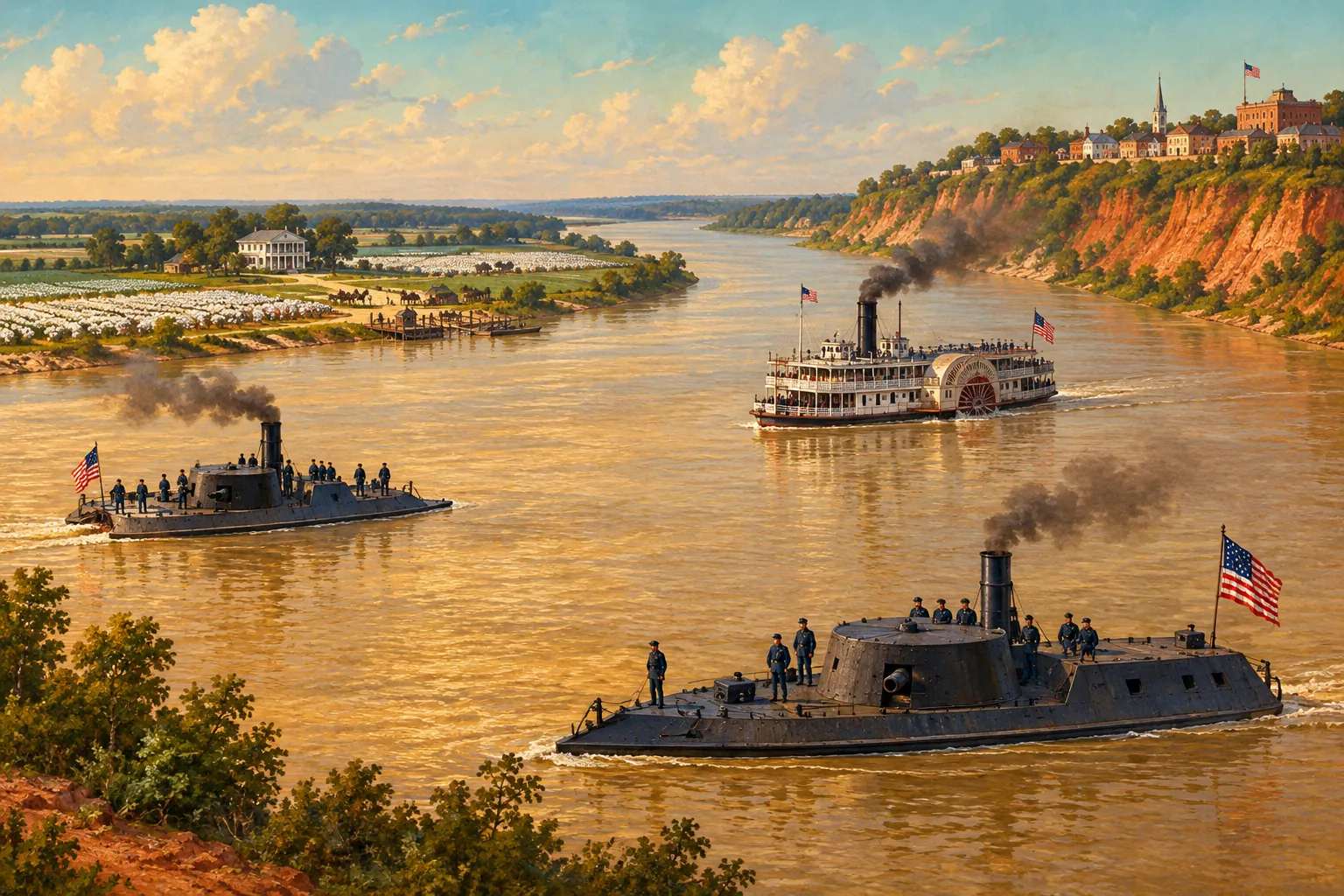
The Mississippi was the second key. Its fall split the Confederacy in two. Vicksburg surrendered on 4 July 1863 and Port Hudson on 9 July, and the river was then in Union hands. Texas, Arkansas and most of Louisiana were cut off from Richmond.
The war was also fought in separate theaters. In the East, the armies moved between Washington and Richmond and across the rivers of Virginia. In the West, the fighting followed rivers and railroads through Kentucky, Tennessee and Mississippi. Railways mattered because armies in the 1860s could not live far from them, so cities such as Atlanta, Chattanooga and Petersburg were important mainly as rail junctions.
How the map changed, 1861-1865
The border lines of 1861 were not the frontline of 1865. After Fort Sumter, the Union held the border states and pushed into Tennessee and Kentucky. In 1862 it took New Orleans, the Confederacy's largest city. In July 1863 Lee's invasion of the North ended at Gettysburg, the same week as the fall of Vicksburg. In 1864 General William Tecumseh Sherman took Atlanta in September and marched across Georgia to Savannah, which he reached on 21 December. General Robert E. Lee surrendered to Ulysses S. Grant at Appomattox Court House, Virginia, on 9 April 1865, and the rest of the Confederate armies followed in the weeks after.
For the main fights on this map, see Major Battles of the Civil War.
What exams ask
- Count the sides. Eleven Confederate states, 23 Union states and four slave states that stayed in the Union are the numbers most often tested.
- Name the border states (Delaware, Maryland, Kentucky, Missouri) and explain why Lincoln needed them.
- Link geography to strategy. Be ready to explain the Anaconda Plan, the blockade and the importance of the Mississippi River and of railways.
- AP-style significance. The Union's advantage in population, industry and rail did not guarantee victory. It gave the North the means to keep fighting a long war, while the Confederacy depended on exhausting Northern will.
Read next
- Major Battles of the Civil War: where the armies met on this map, from Bull Run to Appomattox.
- How Many People Died in the Civil War?: the human cost of four years of fighting.
- Who Was Abraham Lincoln?: the president who held the Union together and the border states with it.