In five minutes: the Ho Chi Minh Trail
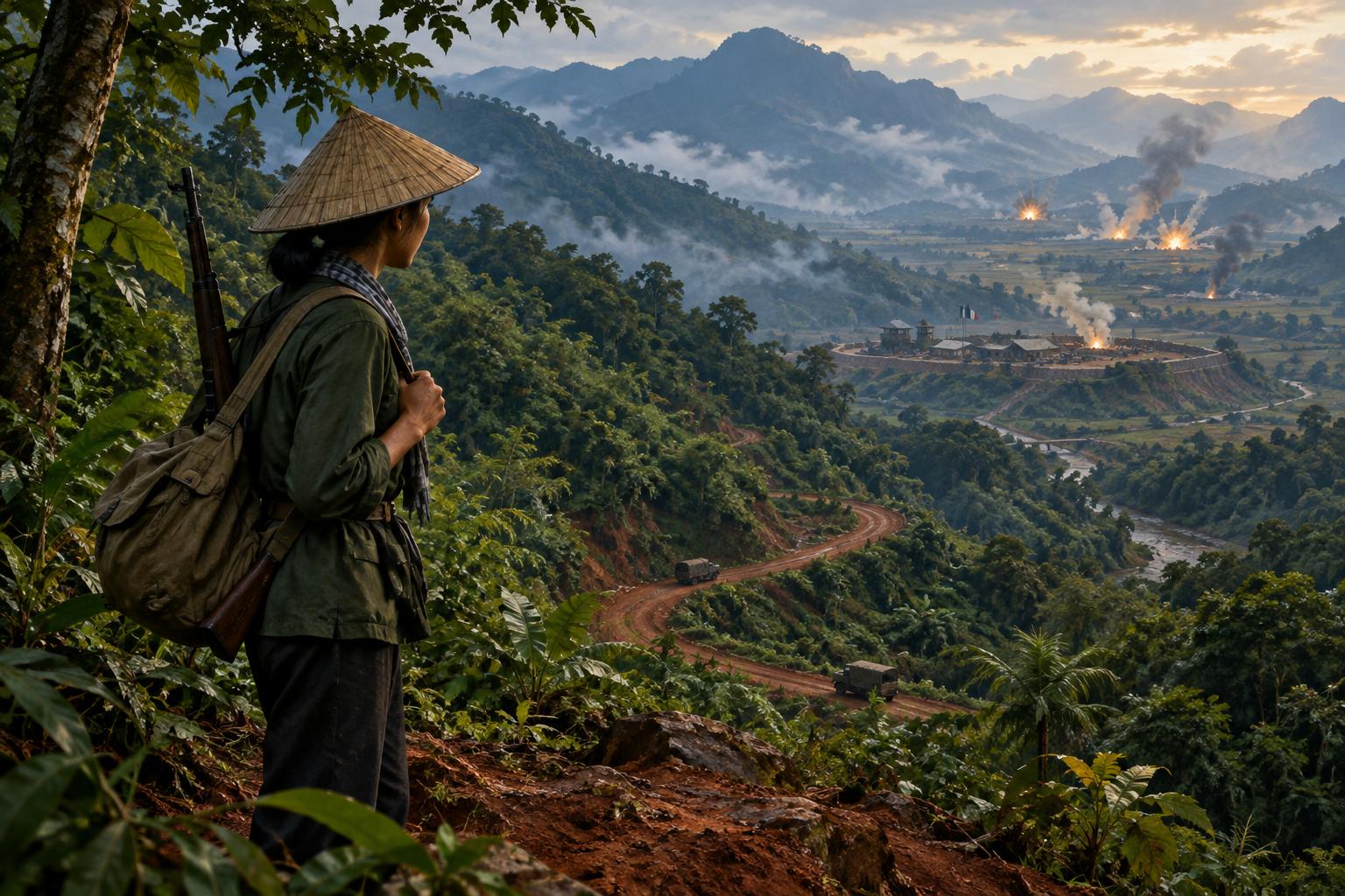
The Ho Chi Minh Trail was a changing network of paths, roads, depots and repair teams. It carried people and supplies from North Vietnam toward the fighting in South Vietnam. Most of it ran through the mountains and forests of Laos, with branches reaching into Cambodia. Its routes shifted with the terrain, the bombing and the course of the war. Understanding it shows that the Vietnam War was never confined to Vietnam's own borders.
Key dates at a glance:
- 19 May 1959: Hanoi's leadership decides to set up a transport task force for the southern routes, the origin of Group 559.
- 23 July 1962: the Geneva declaration calls for a neutral Laos and the withdrawal of foreign military units.
- 2 March 1965: Operation Rolling Thunder begins bombing North Vietnam.
- 1968: Igloo White sensors begin to be dropped along the trail.
- 31 October 1968: the bombing of North Vietnam is halted.
- November 1968: Operation Commando Hunt begins its campaign against trucks and supply sites.
- April to July 1970: South Vietnamese and US units strike communist base areas in Cambodia.
- 8 February to 25 March 1971: Operation Lam Son 719 advances into Laos.
- March 1972: Operation Commando Hunt ends.
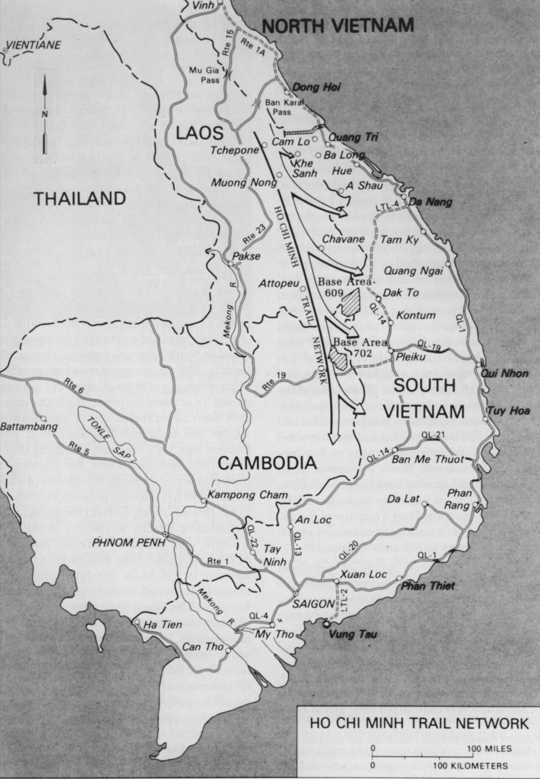
Two naming points help readers. The Americans called the route after Ho Chi Minh, the North Vietnamese leader. Vietnamese sources use the name Trường Sơn, after the Annamite mountain range that the routes crossed. The second point matters more. The trail was never a single road that could be blocked at one point. Engineers and carriers could repair it, detour around it and open new branches, so each attack struck one part of a wider system.
Why the trail crossed Laos
North Vietnam backed the insurgency in South Vietnam and needed a way to send soldiers and equipment south. The most direct land route ran through the demilitarised zone that divided the two Vietnams, a border that was closely watched. Mountain routes through neighbouring Laos offered a way around it. Hanoi's leadership decided on 19 May 1959 to set up a transport task force to open these routes. That decision led to Group 559, the transport unit that later ran the network.
Laos was not an empty corridor. It had its own civil war, and rival forces fought over the country's future. The Geneva declaration on Laos, signed on 23 July 1962, called for a neutral Laos and for foreign military units to leave. North Vietnamese forces did not leave as the agreement required, and Hanoi kept supporting the Pathet Lao, the communist movement in Laos. The United States also backed forces inside the country. The trail therefore sat inside a wider regional conflict. Neutrality on paper did not end outside involvement.
Who ran the supply network
Group 559 moved troops, weapons and materiel from North Vietnam toward units in the south. It also built and maintained the routes through Laos and Cambodia. Its work depended on many small jobs. Goods were unloaded at one depot, stored under cover, carried past a damaged section and loaded again for the next stage. Shipments moved in stages, so the network depended on relays of people as much as on roads.
The network grew as more units used it. New stretches needed roads, depots and repair crews, and each attack on one part of the system called for fresh repairs or detours. Supplies could therefore keep moving even when particular sections were hit.
From porters to trucks
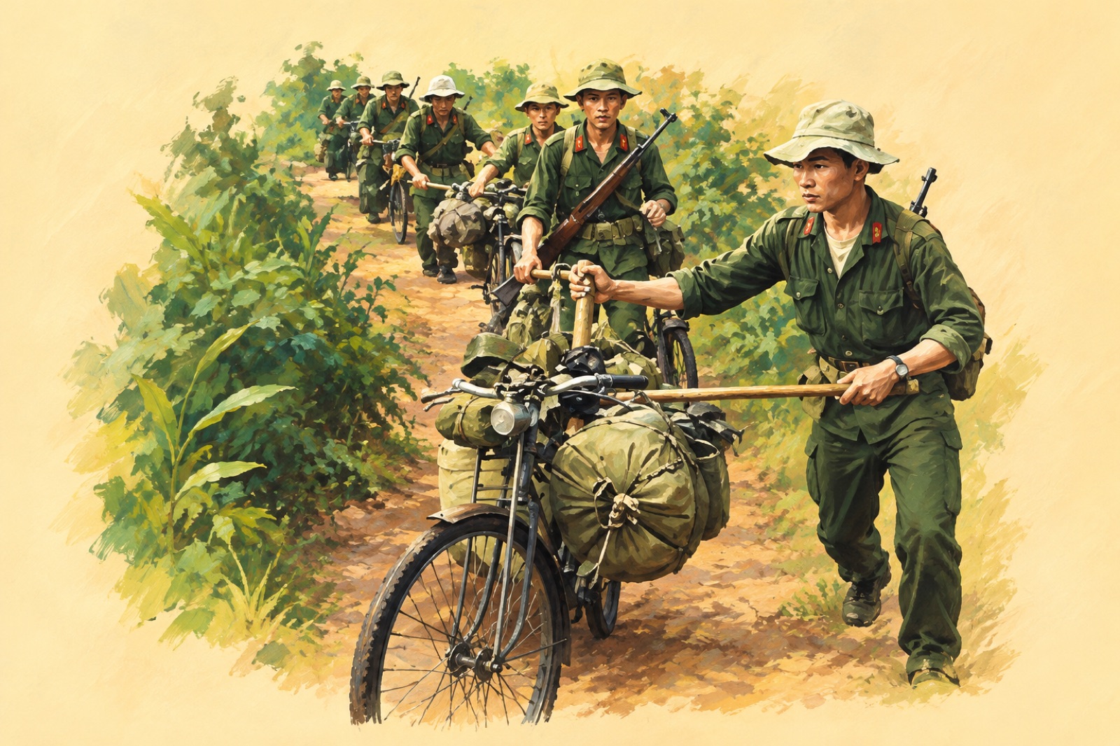
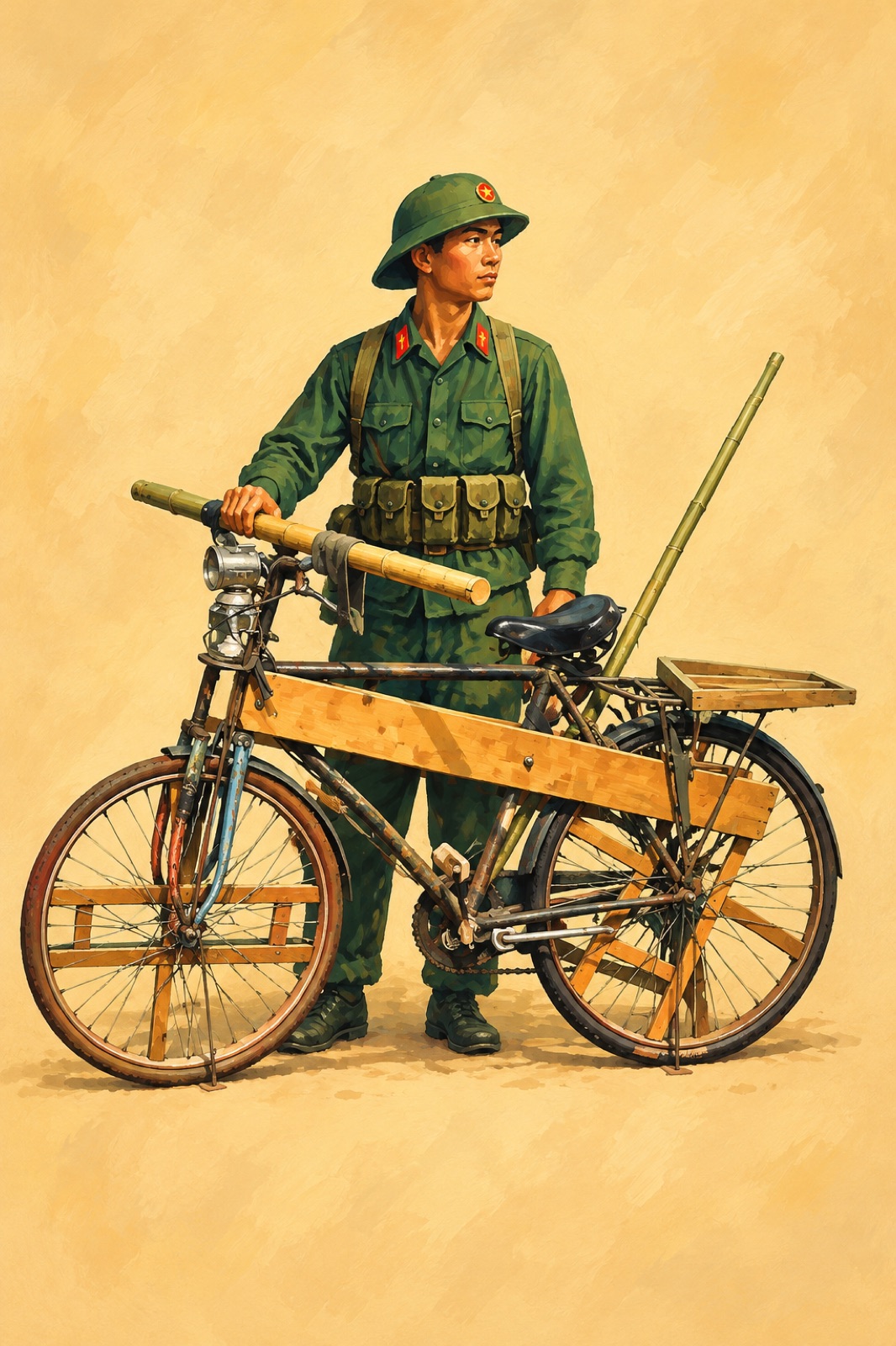
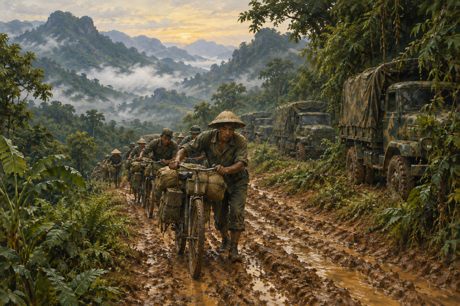
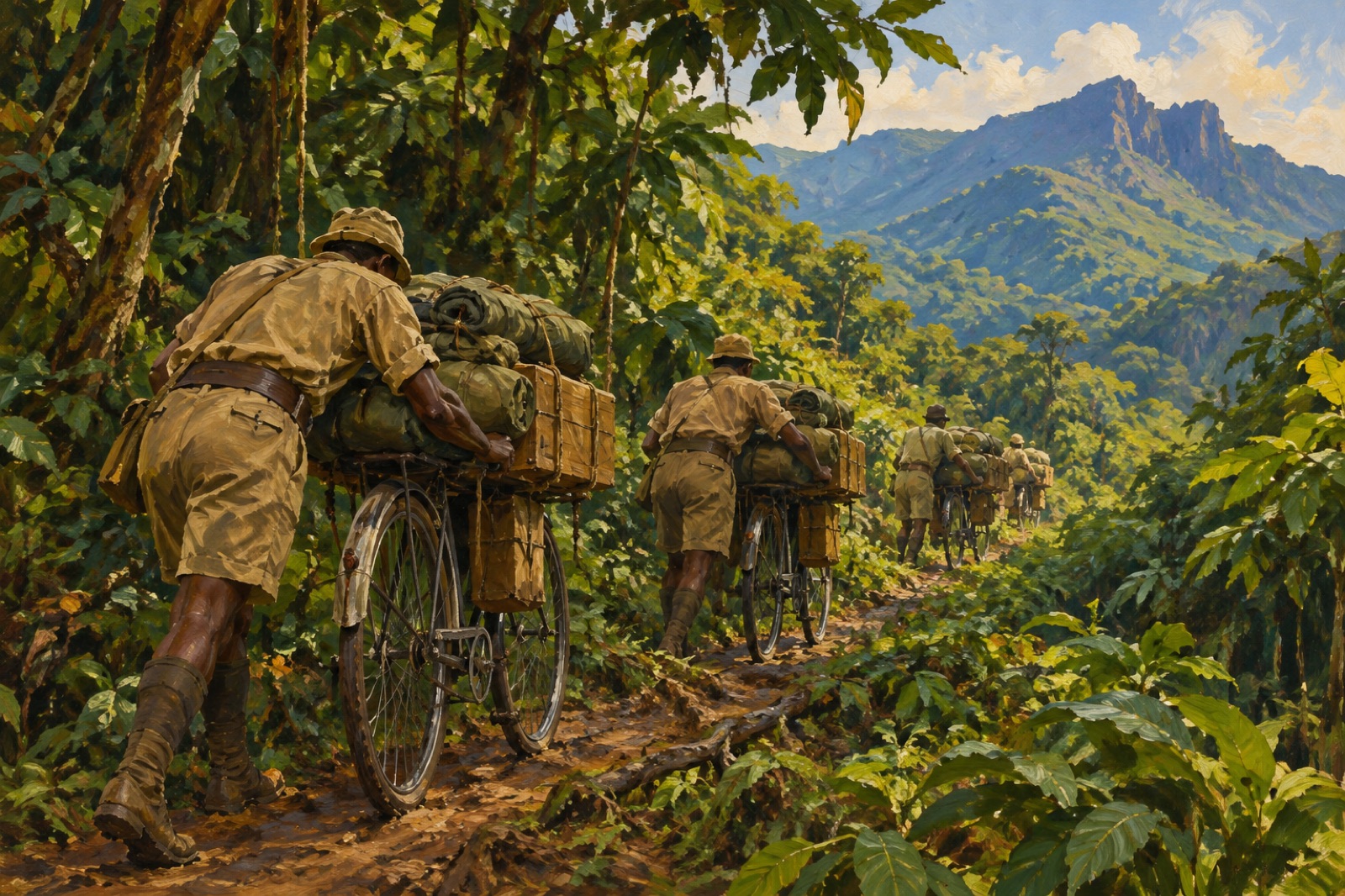
The earliest traffic moved on foot. Porters carried loads on their backs or pushed loaded bicycles along narrow paths. A bicycle could carry more than a person, but a loaded one was hard to push through mud, rock and steep ground. Bicycles could reach places where trucks could not go, which made them useful on the rougher stretches.
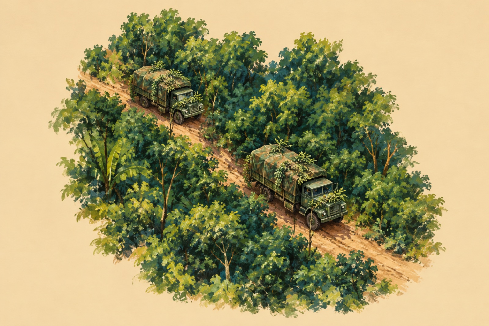
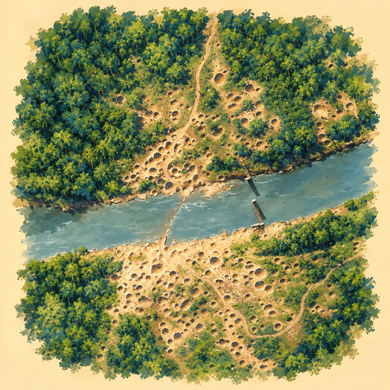
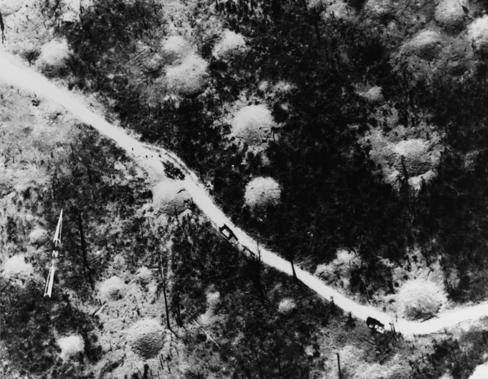
As roads improved, trucks took on more of the work. Their routes had to be repaired after rain and bombing, and vehicles were camouflaged. A US Navy aerial photograph taken from about 4,700 feet on 16 January 1970 shows two camouflaged trucks on a road that winds past bomb craters, with a third that appears damaged. The trail was both a route and a target.
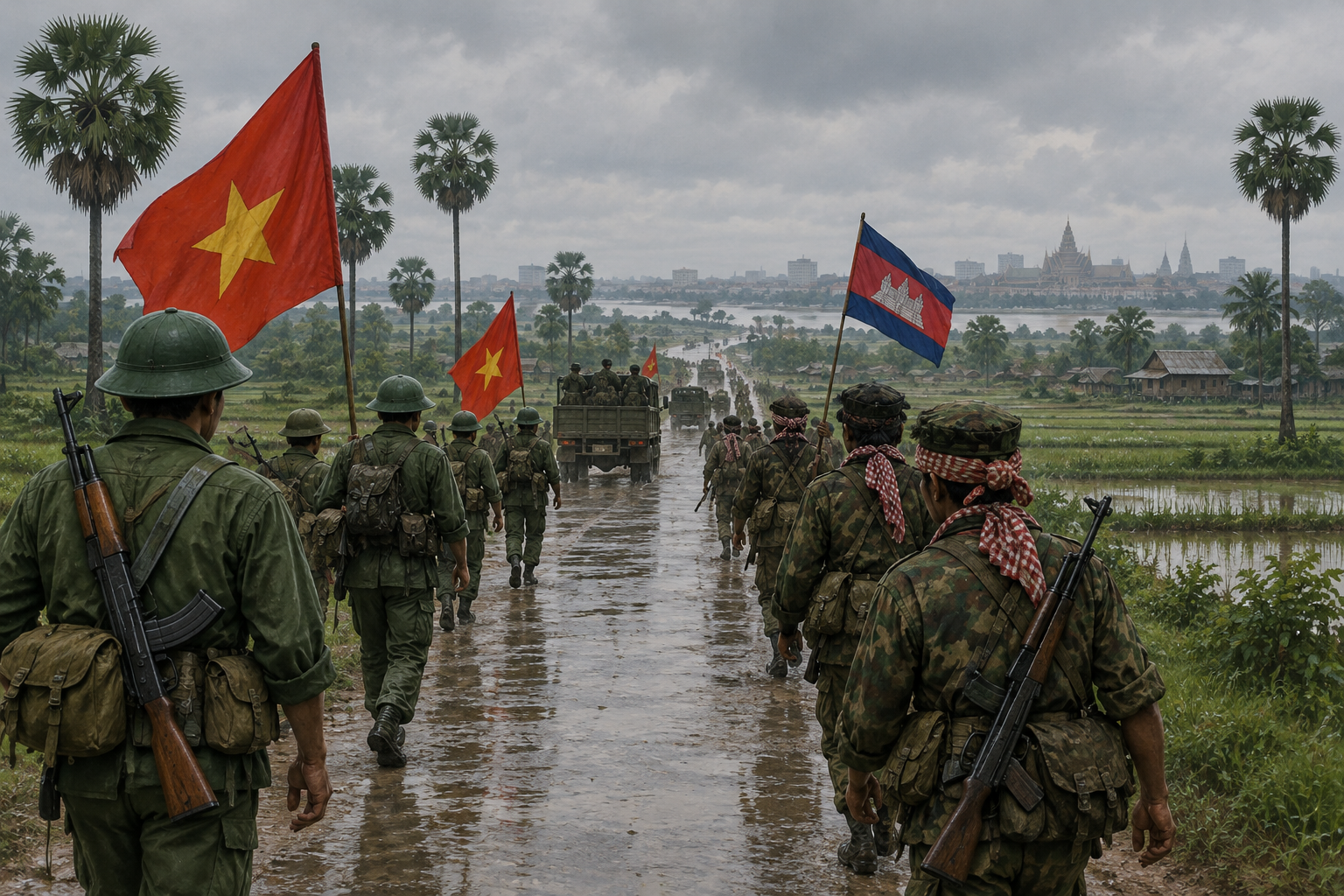
The network also reached into Cambodia. Branches there served communist base areas along the border. These branches should not be pictured as a copy of the Laos routes. Their layout and use changed over time, as the war on the border changed.
How to read the maps
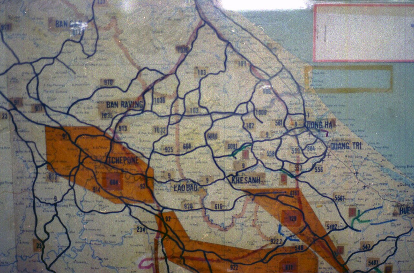
The first map shows the network as routes that branch and rejoin, not as a single line. The second map is a photograph of a map displayed in Ho Chi Minh City, and it shows the layout as presented there. Read each map with its date and purpose in mind. The trail changed on the ground as roads were cut and rebuilt, so a map is a snapshot of one moment and one purpose.
The air war against the trail
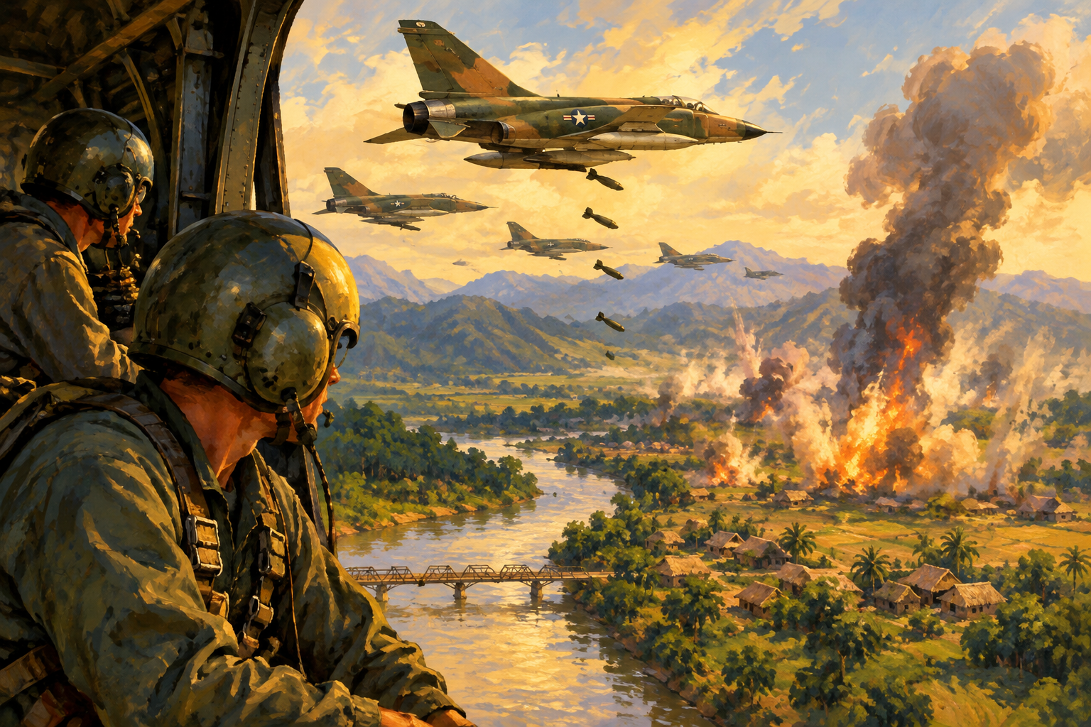
Operation Rolling Thunder bombed North Vietnam from 2 March 1965 until President Lyndon Johnson halted the campaign on 31 October 1968. The bombing was meant to pressure Hanoi and to disrupt the flow of men and supplies to the south. Roads and bridges could be repaired or bypassed, however, so the United States looked for ways to detect traffic on the trail itself.
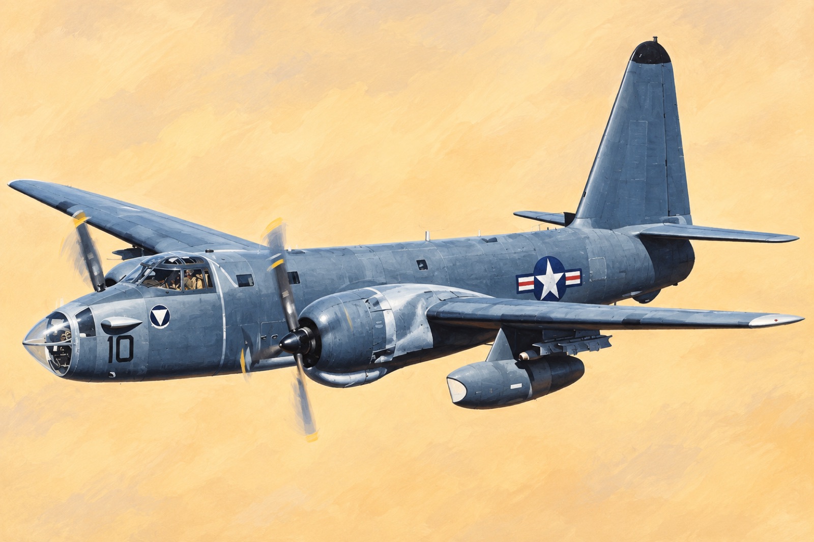
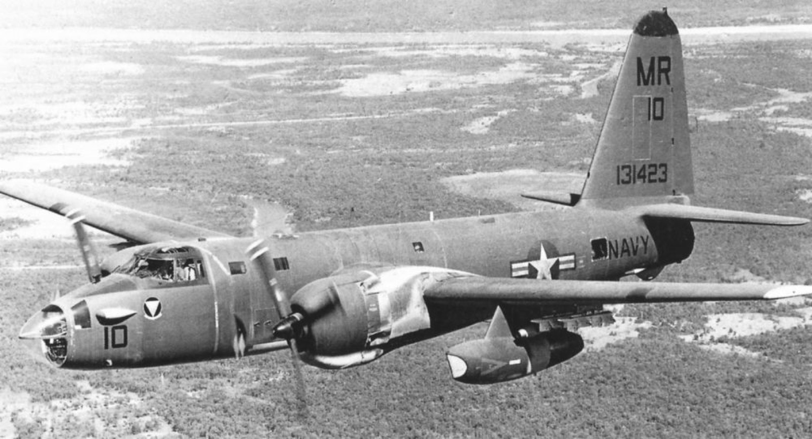
That search led to Operation Igloo White, which began in 1968. Aircraft, including US Navy OP-2E Neptunes of Observation Squadron 67 (VO-67), dropped sensors along the trail. The sensors were acoustic and seismic: they picked up sound and ground vibration, so they could show that something was moving nearby. They did not produce pictures. On their own they could not tell a truck from a bicycle or show how much a vehicle was carrying. Sensor data had to be turned into targets before aircraft could strike.
Sensors had to be dropped by aircraft into jungle terrain, and the sensor field was only one part of the effort. The rest depended on how quickly strikes could follow up on the signals.
Operation Commando Hunt ran from November 1968 to March 1972 in a series of phases. Its aim was to slow the flow of supplies by attacking trucks, supply caches and storage areas. A US Air Force memorandum of December 1968 stated that its objective was to impede the flow into and through the system rather than to kill trucks as such. The Seventh Air Force estimated that November operations had impeded up to 75 per cent of the logistics throughput to South Vietnam. The campaign was meant to slow the flow, not to halt it completely.
Ground operations in Cambodia and Laos
In March 1970, Lon Nol removed Prince Sihanouk from power while Sihanouk was abroad, and the political situation in Cambodia changed quickly. South Vietnamese forces crossed into Cambodia on 29 April 1970, and US units joined in early May. The aim was to strike communist base areas on the border. US forces withdrew by 30 June, and South Vietnamese operations continued into July. The move spread the war across another border, and it showed how far the supply system reached beyond Laos.
Operation Lam Son 719 ran from 8 February to 25 March 1971. Its aim was to cut communist supply routes and bases in Laos. About 17,000 South Vietnamese troops were involved at the height of the operation. They advanced along Route 9 into Laos, with heavy American air support and helicopters. The US Congress had barred American ground troops and advisers from entering Laos, so the ground fighting was carried out by South Vietnamese forces.
In early March, South Vietnamese troops took Tchepone, a major supply centre. The withdrawal was ordered in mid-March under pressure from North Vietnamese forces along Route 9, and most troops had left Laos by 25 March. More than 7,000 South Vietnamese were killed, wounded or captured. About 1,100 to 1,600 of them were killed.
What the network achieved, and what it cost
The network kept carrying supplies until the war ended in 1975. The Ho Chi Minh Trail remained a main supply route for the North Vietnamese forces that overran South Vietnam in 1975. Bombing, sensors and ground operations raised the cost of moving goods and forced repeated repairs. Repair, concealment and alternative routes kept the network open. The more useful question is how far each campaign raised the cost of moving supplies, not how many road sections it hit.
Laos bore a heavy share of the cost. Villages were bombed, and fighting spread across the countryside. A military map shows a supply line, but not the lives of the people who lived along it.
What exams ask
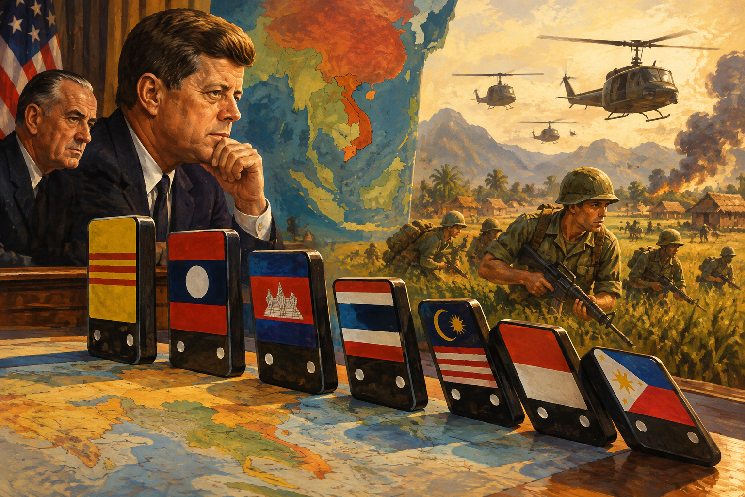
In world history, treat the trail as a case study in geography and politics. Three points are worth remembering. First, the trail was a logistics network of routes, depots and repair work, not a single road. Second, it ran through Laos and Cambodia because the direct route through the divided country was too closely watched, which drew neighbouring states into the war. Third, Laos's 1962 neutrality did not stop foreign military activity.
In an answer, separate attacks on sections of the trail from the network being permanently shut. Describe sensors and bombing as tools for slowing supplies, not for stopping them completely. Keep these dates in order: the Geneva declaration (1962), Rolling Thunder (1965 to 1968), Igloo White (from 1968) and Lam Son 719 (1971).
Common mistakes to avoid
- The trail was not one road, and it did not have a single fixed route.
- The Cambodian branches were not a copy of the Laos routes.
- Sensors reported movement. They did not photograph trucks or count loads.
- Commando Hunt aimed to slow the flow of supplies, not to halt it completely.
- Lam Son 719 was carried out by South Vietnamese ground forces with American air support, not by American ground troops.
Read next
The Vietnam War explained places the trail in the wider conflict.
Operation Rolling Thunder and the bombing of North Vietnam explains the air campaign that ran alongside the trail war.
Vietnam's invasion of Cambodia follows a later conflict between former communist allies.